What a fuck up!
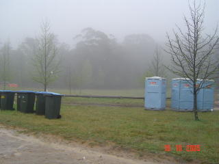
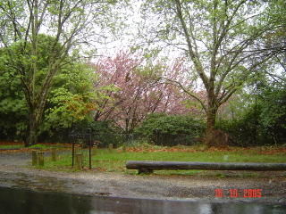
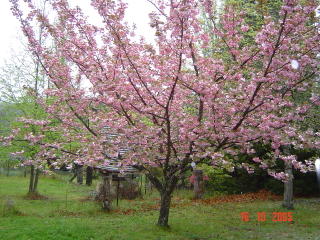
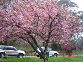
My trip to Mount Wilson in Bell, out in the Blue Mountains, was a complete disaster. It was pissing down rain, with the weather trying to do it's best "Hurricane Katrina" impression. And if you think that was bad, it gets worse. The cherry blossoms had just, only just, finished blossoming. So we travelled around a 120 kilometers or so to look at cherry blossoms without all the nice pink flowers. Instead, we got some maple trees to cheer us up. Fuck.
But it wasn't all that bad, I mean it could have been worse. There were a few cherry blossoms still around and we got a chance to talk to old friends. And that iCN 635 worked like a charm. It accurately plotted out a course there and back. It has totally superseded the old "bread-crumb-trail" GPS systems. Those old systems left a trail where you went and had no road directions, just a black line on a monochrome LCD screen. I can't really think how we could survive without this. It totally takes the strain of me having to plot a course on a map. Of course, it's kinda useless if you don't travel into the deep unknown, but if you do reguarly, get one of these babies.
Now to the interesting part, photos! With captions for your viewing pleasure and hearing-impaired:


No comments:
Post a Comment